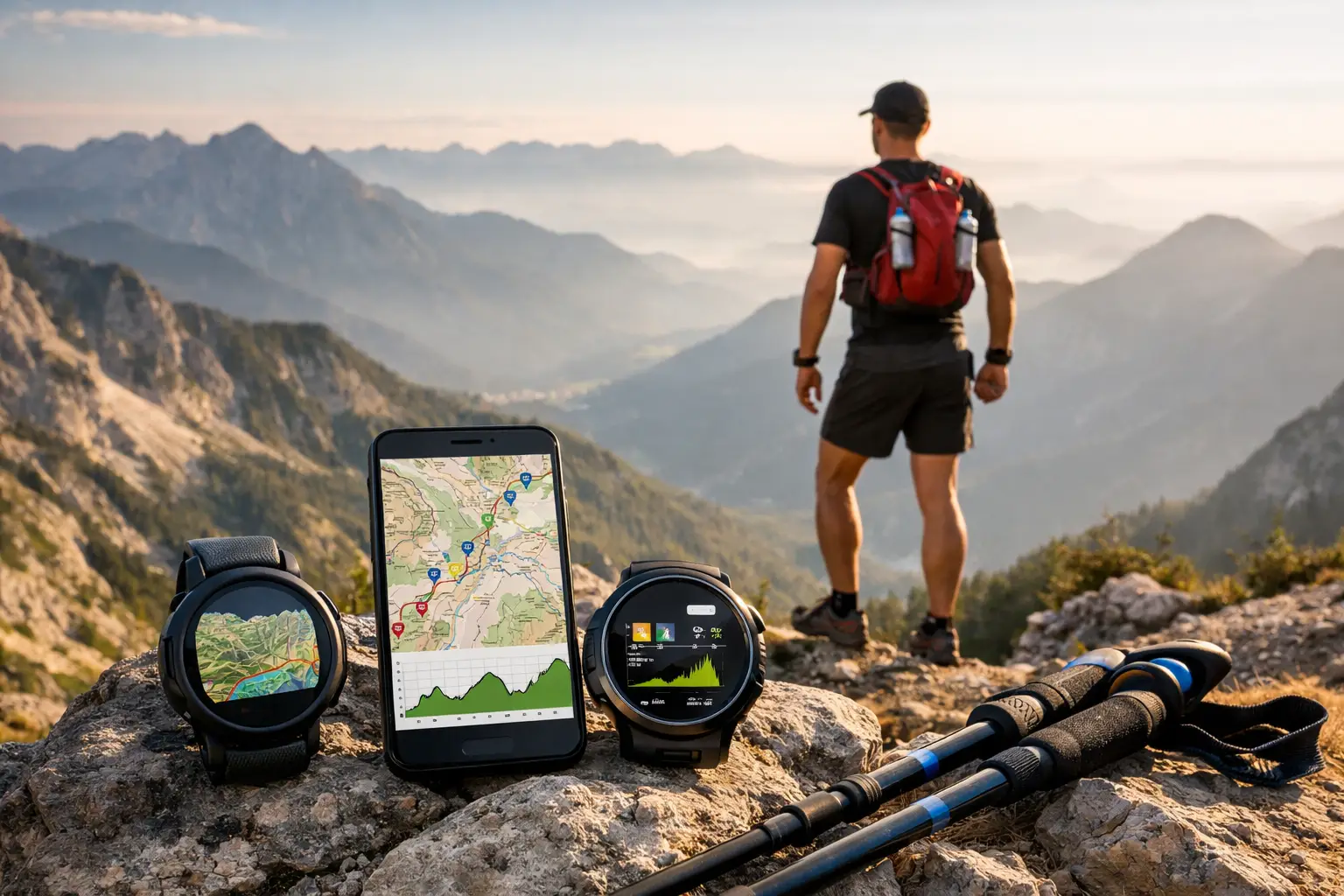
A race can look manageable on paper until mile 28 turns into a steep, exposed hike with no water for another hour. The top trail race intelligence features turn that unknown into a plan. They show you where the course changes, what each segment demands, and where a bad assumption can cost you the day.
For an ultra runner, course intelligence is not a nice extra. It is the information that shapes training, gear choices, nutrition, pacing, and decision-making when your legs are gone. A useful platform does more than display a route line. It gives you a race briefing you can act on.
1. A Clean, Race-Accurate GPX File
Everything starts with the route. A GPX file should follow the official course, include enough track detail to hold its shape through tight switchbacks, and work with the watch or navigation device you plan to carry.
That sounds basic, but bad files create real problems. An outdated route can send you toward a closed trail. A poorly simplified track can make a technical descent look straight. A file with no useful course points gives you navigation without context.
A strong race GPX download should be easy to export and built for offline use. Load it onto your GPS watch before race morning, then keep a second copy on your phone or handheld device if the event is long, remote, or prone to course changes. The goal is not to stare at a screen all day. It is to have a reliable reference when the markings get sparse, fog rolls in, or fatigue makes every junction look the same.
2. Interactive 3D Maps That Show the Course Shape
A flat map tells you where you are going. A 3D course view tells you what the terrain is likely to feel like.
This matters most on mountain courses, where a two-mile segment can involve a long ridge traverse, a deep drop into a drainage, or a climb that keeps rising long after the contour lines stop looking dramatic. Seeing the course in three dimensions helps runners understand how major features connect: the valley floor, the ridgeline, the summit push, and the descent to the next aid station.
Use 3D mapping before training blocks begin. Identify the race's biggest climbs and longest descents, then find comparable terrain at home. If you do not have mountains nearby, you can still replicate the demand with incline hiking, long stair sessions, or repeated downhill work. The exact trail will differ, but the muscular and pacing demands should not be a surprise.
3D views also expose false assumptions. A course may advertise one major climb, while the map reveals several steep rollers after it. That is the difference between running a planned split and blowing up because you treated the final third as a downhill finish.
3. Elevation Analysis Built Around Runnable Segments
Total elevation gain is useful, but it is one of the most abused numbers in trail running. Two races with 8,000 feet of gain can race nothing alike. One may climb gradually on smooth singletrack. The other may stack steep, technical ascents with hard descents that wreck your quads.
Good elevation analysis breaks the route into meaningful segments. You need to see where climbs begin and end, how much gain is packed into each section, and what comes immediately afterward. A climb followed by five miles of rolling ridge terrain requires a different effort than a climb followed by a long runnable descent.
Read Grade, Not Just Gain
Pay attention to average and maximum grade, but do not treat either as a verdict. A sustained 10% grade can be fast hiking territory for many runners, while a short 25% pitch may be manageable if it is brief and stable. Surface, altitude, heat, and accumulated fatigue all change the equation.
The practical value comes from matching your plan to the profile. Decide where you will hike early, where you will protect your quads, and where you can run without burning matches. TrailSight organizes elevation data around the course itself, so you can assess those demands before you are making decisions under stress.
4. Aid Station Details That Support Real Fueling Plans
Aid stations are not just dots on a map. They are your resupply system, crew handoff points, cutoff checkpoints, and often the only places where you can reset after a hard segment.
Race intelligence should show each aid station in course order with accurate distance, elevation context, and the gap to the next stop. If possible, it should also clarify whether an aid station is crew-accessible, what services may be available, and where major climbs or exposed sections fall around it.
That information lets you build a fueling plan that survives reality. Instead of carrying the same amount from every stop, you can carry according to the next segment. A short, shaded descent may require little. A long climb in afternoon heat with no reliable water source may demand extra fluid, sodium, calories, and a margin for delay.
Do not assume race-provided nutrition will match your stomach. Use aid station intelligence to plan your own drop bags and crew instructions. Give your crew simple, segment-based direction: refill bottles, replace calories, grab a layer, move on. The longer you linger, the harder it is to regain rhythm.
5. Cutoff Tracking That Makes Time Visible
A cutoff is not a vague threat at the back of the pack. It is a number that should shape your pacing strategy from the start.
The best trail race intelligence features place cutoff information beside the course segments and aid stations that matter. You should know the official time limit, the cutoff at each checkpoint, and the pace needed to arrive with a meaningful buffer.
A buffer matters because trail races rarely unfold cleanly. A creek crossing backs up. Heat slows the field. You stop to fix a shoe. Your stomach shuts down for an hour. A pace plan built exactly on the cutoff leaves no room for the course to behave like a trail race.
Build a Conservative Cutoff Strategy
Start by estimating time to each checkpoint using the terrain, not a road-running average. Include time for climbing, technical descents, aid station stops, and the predictable slowdown late in the race. Then compare that estimate with the official cutoff.
If your early splits are slower than planned, do not panic and sprint blindly. Check where the time loss happened. Was it a difficult climb that affected everyone, or were you spending too long at stations? Course-specific data gives you a better answer than a single average pace ever will.
6. Terrain and Waypoint Context Beyond the Finish Line Distance
Mileage markers do not tell you where the work is. Race-relevant waypoints do.
Useful waypoints can flag trail junctions, summits, water crossings, exposed ridges, technical descents, road crossings, and major terrain transitions. These are the points that change how you move, what you carry, and what you expect from the next hour.
Consider a waypoint marking the start of a long rocky descent. That is your reminder to eat before your stomach gets rattled, shorten your stride, and avoid chasing runners who are willing to trash their quads. A waypoint before an exposed ridge may tell you to keep a shell accessible rather than buried in your pack.
Terrain context is also critical for crew and spectators. They need realistic access expectations, not just a pin near a road. On race day, a simple waypoint can prevent missed handoffs and unnecessary stress for everyone involved.
7. Offline Access and Watch Integration
Cell service disappears fast in mountain terrain. If your race plan only works when you have a signal, it is not a race plan.
Offline access lets you study the map, elevation profile, waypoints, and aid station plan wherever you are. More importantly, watch integration puts the route on the device you will actually use while moving. The right setup gives you turn awareness, distance context, and a fallback when markings are unclear.
There is a trade-off. More data on a watch can become noise, especially late in a race. Keep your race screen focused on what you will use: route guidance, distance, elapsed time, elevation, and perhaps the next aid station. Build the detailed plan before race day. Use the watch to execute, not to analyze every decision from scratch.
Put the Intelligence to Work Before the Start
The value of course intelligence is not in collecting more data. It is in turning the right data into better actions. Review the route, identify the decisive climbs, set segment-based fueling, check cutoff margins, and load your navigation before you pin on a bib.
Then race with a plan that fits the trail in front of you. Know the trail before you run it, and when the course gets hard, you will have fewer surprises left to manage.