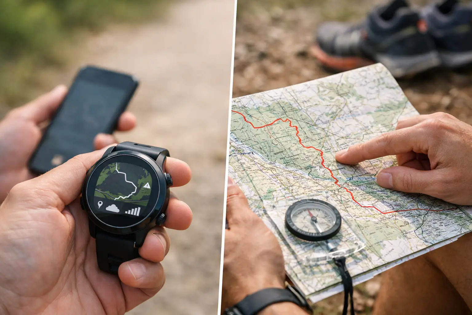
A wrong turn at mile 42 is rarely caused by a lack of fitness. It is usually a course-information problem. In the GPX file vs route map decision, trail runners often treat the two as interchangeable. They are not. One helps your watch keep you on course. The other helps your brain understand what the course will demand.
For a local 10K on familiar trails, either may be enough. For a mountain ultra with long climbs, remote junctions, aid station cutoffs, and changing terrain, you want both. The real advantage comes from knowing what each format can and cannot tell you before the gun goes off.
What Is a GPX File?
A GPX file is a structured GPS data file. It contains a series of geographic points that create a track, route, or set of waypoints. Load it onto a compatible GPS watch, phone app, or handheld device, and it gives you a digital line to follow in the field.
For runners, the practical value is navigation. Your device can show your current position relative to the course, alert you when you are off course, and display remaining distance. Depending on the device and file quality, it may also show elevation, upcoming climbs, turns, or saved locations such as aid stations.
A GPX file is especially useful when the course is poorly marked, conditions reduce visibility, or fatigue makes simple junctions harder to read. It is also a strong backup when race signage disappears, volunteers are not at a split, or you need confidence that the trail in front of you is actually your trail.
But a GPX file is not automatically race intelligence. It is raw geometry first. A line on a watch does not explain whether a climb is runnable, whether a descent is loose, whether an aid station is stocked, or whether a 14-mile segment is likely to take two hours or four.
What a GPX File Does Well
A good GPX file gives you accurate course following, offline navigation, distance context, and waypoint support. It travels with you on race day, when mobile service may be weak or nonexistent. That makes it the operational tool.
It also belongs in training. Running a key section of the course, practicing with your watch navigation, or loading a race route onto a long-run route helps you learn how your device behaves before race-day pressure arrives.
Where GPX Files Fall Short
GPX quality varies. A file may have too many points, too few points, incorrect elevation data, or a route that was updated after the race organizer published it. Some watches simplify tracks, calculate elevation differently, or limit the number of course points they can handle.
More importantly, a GPX track can hide the character of the route. A steep switchback climb and a smooth forest-road climb may look similar at a small watch scale. Yet they require completely different pacing, fueling, pole, and effort decisions.
What Is a Route Map?
A route map is the visual briefing. It shows the course in geographic context, often with terrain, elevation profiles, mileage, aid stations, cutoffs, road crossings, key turns, and course segments. It is what you study when you want to know the shape of the race, not just where the line goes.
A strong route map lets you see how the course is organized. You can identify where the major climbing begins, whether the back half is more exposed, how far the longest aid-station gap stretches, and where a long descent could punish your quads. Interactive 3D views add another layer by making ridgelines, valleys, and mountain transitions easier to read than a flat line alone.
For race preparation, the route map is the planning tool. It turns course data into decisions: when to hike, where to carry extra fluid, which aid station deserves a drop bag, and where to protect time against a cutoff.
What a Route Map Does Well
Route maps build situational awareness. They help you divide a race into meaningful segments instead of treating every mile as equal. That matters because trail miles are not equal. Three miles over a runnable ridge may take less time than one steep mile above treeline.
A map paired with a detailed elevation profile can expose pacing traps before they become race-day problems. If you see a 3,000-foot climb immediately after an aid station, you can arrive fueled, carry enough water, and set an effort cap before the climb forces the decision for you.
Route maps are also better for logistics. You can inspect crew access, road crossings, loop sections, remote stretches, and the location of mandatory gear checks. None of that is easy to absorb from a tiny screen while moving.
Where Route Maps Fall Short
A route map cannot actively guide you when you are standing at an unmarked fork in fog. Unless it is saved for offline use in a navigation app, it may be useless without signal. Even then, it usually requires more screen attention than a watch alert.
Maps can also create false confidence if they lack current course data. A beautiful overview is not enough if the organizer changes a segment, reroutes around snow, or moves an aid station. Always compare your planning materials against the latest official race communication.
GPX File vs Route Map: The Race-Day Difference
The simplest distinction is this: a GPX file answers, “Am I on course?” A route map answers, “What is coming, and what should I do about it?”
On race day, your GPX file is your field tool. It should be loaded, tested, and available offline on the device you trust most. You should know how to start navigation, zoom the map, interpret off-course alerts, and find an upcoming waypoint without fumbling through menus at mile 70.
Before race day, the route map earns its value. Study it until you can name the race's major sections: the long first climb, the exposed ridge, the technical descent, the runnable valley, the final cutoff-sensitive segment. This does not mean memorizing every turn. It means knowing the terrain and logistics well enough to make calm decisions when the race gets loud.
The strongest preparation combines both. Review the full course on a route map, use the elevation profile to define realistic segment goals, and export a verified GPX file to your watch. Then carry a backup option, such as the course loaded on your phone or a printed organizer map where rules allow it.
Build a Better Course Plan From Both Tools
Start with the route map, not the GPX file. Look at the total elevation gain, but do not stop there. Find where that gain occurs. A race with 8,000 feet of climbing spread across 30 miles races differently from one with 8,000 feet concentrated in two mountain efforts.
Next, mark the points that affect your execution. Aid stations are not just pins on a map. They are reset points for calories, fluid, layers, lighting, foot care, and cutoff management. Calculate the distance and likely time between them based on terrain, not your road pace.
Then inspect the GPX track at the decision points. Look for tight switchbacks, trail intersections, out-and-back overlaps, loops, and sections where the course runs near other trails. Those are the places where navigation errors happen. If the file includes waypoints, confirm that the names and distances make sense on your device.
Finally, test your setup during training. Load a GPX route for a long run. Practice following it without cellular service. Notice battery drain, screen visibility, alert volume, and how quickly you can recover after deliberately stepping off route. The first time you use navigation should not be in cold rain on a ridge after dark.
Choose the Right Tool for the Job
If your only concern is staying on a clearly defined route, a GPX file may be enough. If you are deciding how to pace a mountainous ultra, plan drop bags, or manage cutoff risk, a route map and elevation analysis are essential.
For serious trail races, do not choose one and ignore the other. Use the map to understand the course as a system. Use the GPX file to execute inside that system. TrailSight brings those pieces together with route views, elevation context, waypoints, and exportable files built around the details racers actually use.
A course is never just a line from start to finish. Study the terrain, know your next resupply, load the navigation file, and give yourself one less problem to solve when the trail starts asking hard questions.