Visualize. Export. Run.
TrailSight
Prepare your trail with our immersive 3D map, analyze the elevation profile and aid stations. Export the route directly to your GPS watch and head out with full confidence.

Prepare your trail with our immersive 3D map, analyze the elevation profile and aid stations. Export the route directly to your GPS watch and head out with full confidence.


Features
Download GPS tracks and aid stations for your watch or navigation device. Compatible with Garmin, Suunto, Coros and all GPS devices.
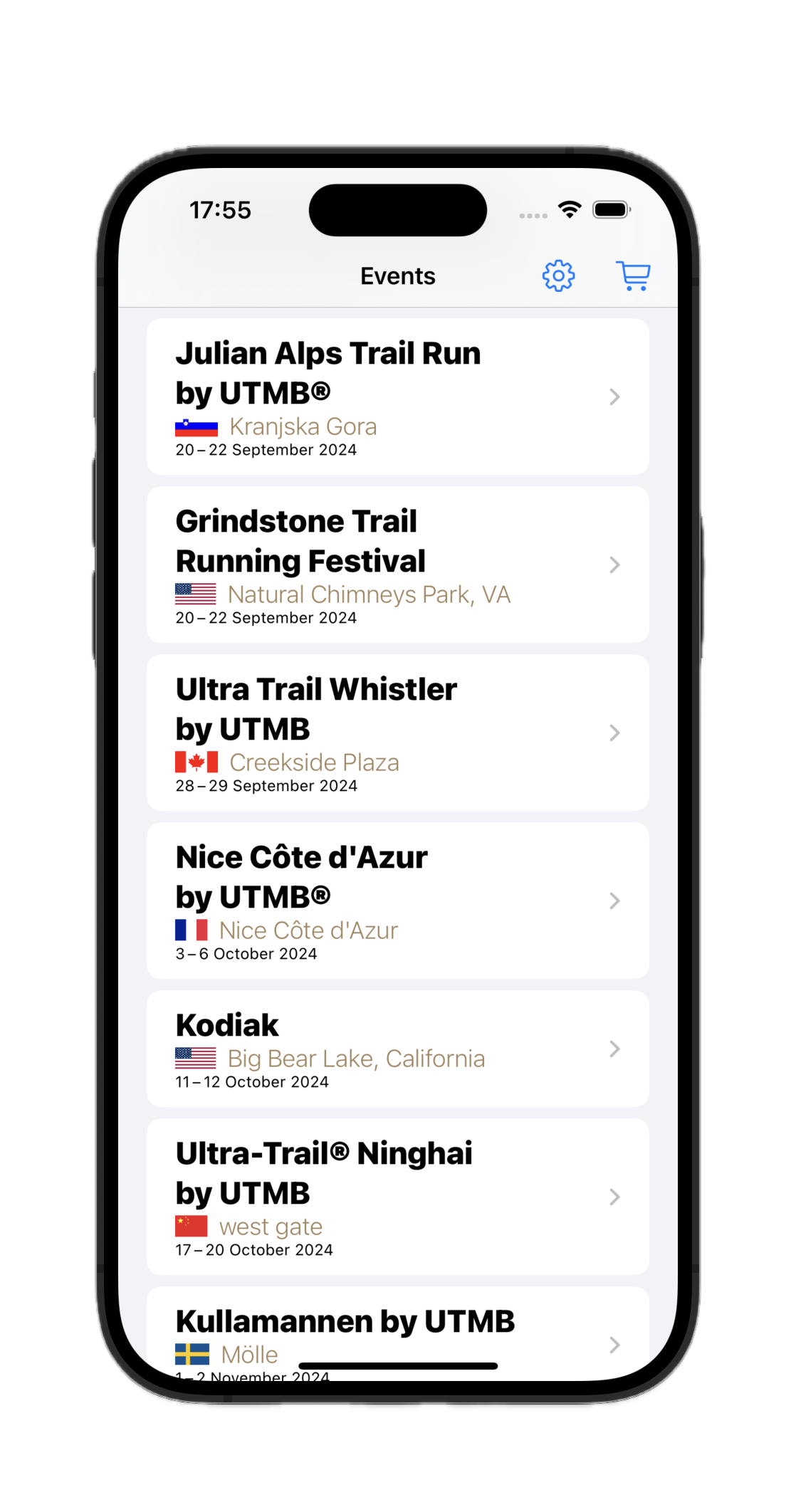
Explore trails by location, date and UTMB category
Visualize elevation gain, terrain difficulty and D+/D- statistics
Complete route with colored markers for aid stations and water points
Aid station details, time barriers and distances
Immersive 3D visualization of the route to better understand the terrain