01 / NAVIGATE
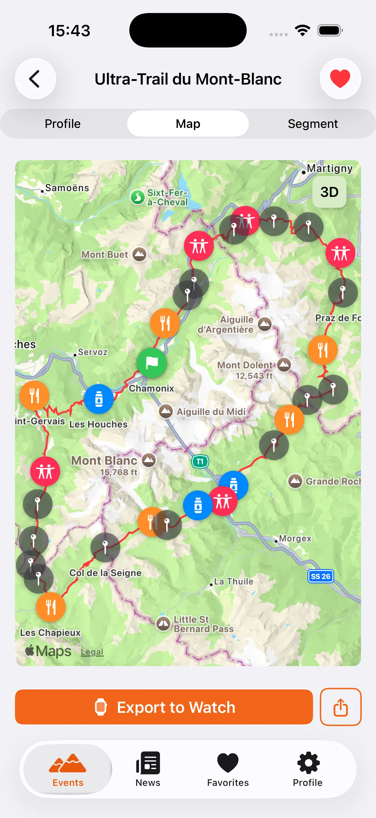
3D Map & Waypoints
Aid stations, water points, cutoffs. Every waypoint placed and labeled by the community. Pan, zoom, flip to 3D.
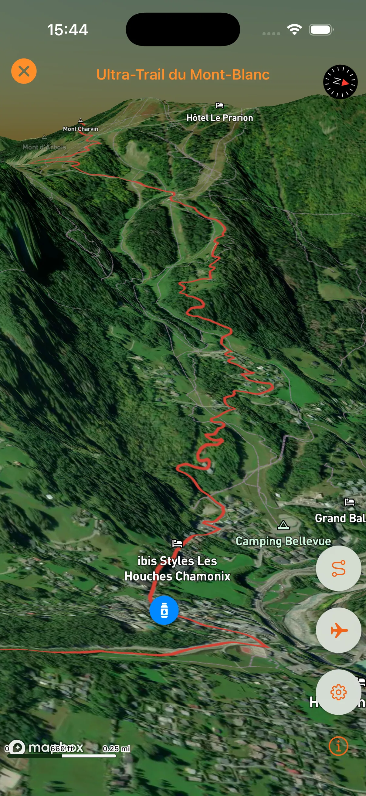
Every meter of climb. Every aid station. Every cutoff. TrailSight is the race brief you wish you'd had on your last DNF.


Aid stations, water points, cutoffs. Every waypoint placed and labeled by the community. Pan, zoom, flip to 3D.
“I knew every aid station before I saw it. That changes how you run.”
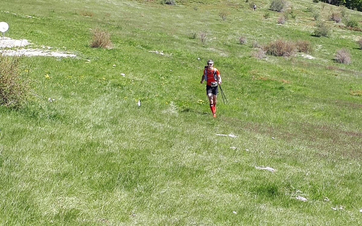 FIELD PHOTO · THOMAS · TRAIL DE HAUTE-PROVENCE 80 KM
Push courses to Connect.
Send to your wrist.
Import via GPX.
Universal export.
Free to download. Free to use. Premium features when you're ready.